
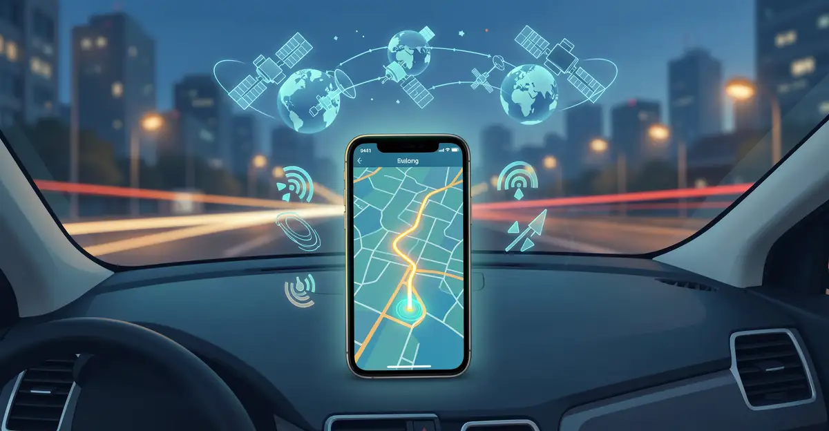
Every time you tap a ride-hailing app or follow turn-by-turn directions, you’re relying on the technology behind modern navigation systems. What once required paper maps and guesswork now happens in milliseconds, combining satellites, sensors, and smart algorithms to pinpoint your location and plot the fastest route.
In this article, we’ll break down how GPS, inertial sensors, and real-time traffic data work together to guide you accurately. Whether you’re a curious driver or a tech enthusiast, you’ll gain clear, practical insight into the systems that keep the world moving.
Introduction
Every time you open a maps app, request a rideshare, or track a package, you are relying on a remarkable chain of technologies that most people never see. Modern navigation systems combine satellites orbiting thousands of miles above Earth, atomic clocks accurate to billionths of a second, and sophisticated software that turns raw radio signals into a blue dot on a screen. This article explores the technology behind modern navigation systems with clear, practical guidance, so you can understand not just where you are going, but how the system knows where you are.
The stakes are higher than they might appear. Navigation failures can mean delayed deliveries, missed flights, or worse. Understanding the fundamentals of the technology behind modern navigation systems helps you make informed decisions, whether you are a daily commuter, a fleet manager, a hiker, or simply someone who wants to know why your phone sometimes places you on the wrong side of the street.
Reliable information and consistent habits lead to better long-term outcomes. That principle applies here just as it does in finance or fitness. If you understand how the system works, you can use it more effectively, troubleshoot it when it misbehaves, and avoid common pitfalls that lead to wrong turns and wasted time.
Key Concepts
Before diving into the details, it helps to map out the core building blocks. Modern navigation rests on a handful of foundational ideas, each of which contributes to the accuracy and reliability you have come to expect.
Global Navigation Satellite Systems (GNSS)
GNSS is the umbrella term for all satellite-based positioning systems. The best-known is GPS, operated by the United States, but there are others: GLONASS (Russia), Galileo (European Union), BeiDou (China), and regional systems like QZSS (Japan) and NavIC (India). Modern receivers often listen to several constellations at once, which improves accuracy and reliability, especially in cities where buildings block parts of the sky.
Trilateration and Timing
The core math is surprisingly simple in principle. Each satellite broadcasts a signal that includes its position and the exact time the signal was sent. Your receiver compares that timestamp to its own clock, calculates how long the signal took to arrive, and multiplies by the speed of light to get a distance. With distances from at least four satellites, the receiver can solve for your latitude, longitude, altitude, and clock error. This process is called trilateration, though many people call it triangulation.
Atomic Clocks and Synchronization
Satellites carry atomic clocks that drift by roughly one nanosecond per day. At the speed of light, one nanosecond equals about 30 centimeters of distance. Tiny timing errors would translate into huge position errors, so the entire system depends on relentless synchronization. Your phone’s clock is far less precise, which is why the receiver solves for its own clock error as part of the position calculation.
Augmentation Systems
Raw GNSS is accurate to roughly 3 to 10 meters under open sky. Augmentation systems improve on that. Ground-based augmentation uses fixed reference stations to calculate corrections and broadcast them. Satellite-based augmentation does the same from space. Real-time kinematic (RTK) systems can achieve centimeter-level accuracy by using a nearby base station and carrier-phase measurements. These upgrades matter for autonomous vehicles, precision agriculture, and surveying.
Inertial and Sensor Fusion
Satellites are not always visible. In tunnels, parking garages, and dense urban canyons, signals fade or bounce. Modern systems fill the gaps with inertial measurement units (IMUs) containing accelerometers and gyroscopes, plus wheel-speed sensors, barometers, and magnetometers. Sensor fusion algorithms combine these inputs with GNSS data to maintain a coherent position even when the sky is hidden.
Deep Dive
With the key concepts in place, it is worth examining how the pieces fit together in real devices and why performance varies so much from one situation to another.
From Satellite to Screen
A typical smartphone contains a GNSS chipset that tracks multiple frequency bands. Older receivers used only the L1 band; modern ones also use L5, which is more resistant to multipath interference and atmospheric delay. The chipset outputs raw measurements to the operating system, which runs fusion algorithms combining GNSS, Wi-Fi, Bluetooth, and cell-tower data. The result is the familiar blue dot, but the path from radio wave to screen involves several layers of filtering and estimation.
Why Urban Canyons Are Hard
In a city, signals reflect off glass buildings before reaching your device. This multipath effect makes the receiver think the satellite is farther away than it is. Combined with blocked lines of sight, it can produce errors of 50 meters or more. Dual-frequency receivers and multi-constellation tracking help, but no system is perfect. This is why your map sometimes jumps a block or two when you emerge from a subway station.
Map Matching and Routing
Position is only half the problem. Navigation software must also determine which road you are on and where you should go next. Map-matching algorithms snap your estimated position to the nearest plausible road, using heading, speed, and road topology. Routing engines then calculate the best path using graph algorithms like Dijkstra’s or A*. Traffic data, historical patterns, and real-time incidents feed into the cost function, which is why the fastest route can change minute by minute.
Indoor and Underground Navigation
Satellites cannot reach indoors, so different technologies take over. Wi-Fi positioning uses databases of access-point locations. Bluetooth beacons provide room-level accuracy in malls and airports. Ultra-wideband (UWB) offers centimeter precision for short range. Some systems use magnetic-field mapping, since buildings have distinctive magnetic signatures. None of these is as universal as GNSS, which is why indoor navigation often requires a dedicated app or venue-specific setup.
Security and Jamming
GNSS signals are weak by the time they reach Earth. A small jammer can disrupt reception across a wide area, and spoofing attacks can feed false signals that make a receiver report a wrong location. Critical infrastructure operators increasingly use encrypted military signals, inertial backup, and terrestrial alternatives like eLoran. For everyday users, the practical risk is low, but awareness matters as navigation becomes more deeply embedded in transportation and logistics.
Best Practices
Knowing the technology is useful; applying it well is better. The following practices help you get the most from modern navigation systems in daily life and professional settings.
- Keep software updated. Firmware updates for phones, cars, and dedicated receivers often improve satellite tracking and fix known bugs.
- Give the receiver a clear view. Mount devices where they can see the sky. Avoid placing them under metal or dense dashboard components.
- Calibrate sensors when prompted. Compass calibration and IMU alignment improve fusion accuracy, especially after device restarts.
- Use offline maps for remote areas. Download maps before traveling where cell coverage is unreliable.
- Cross-check critical routes. For important trips, verify with a second source or a paper map. Do not rely on a single device.
- Understand your accuracy needs. A delivery van needs street-level accuracy; a surveyor needs centimeters. Choose tools that match the job.
- Report persistent errors. Mapping providers rely on user feedback to correct road data and traffic models.

Step 1: Understand the fundamentals
Start by learning how satellite positioning, timing, and sensor fusion work at a high level. You do not need to derive the equations, but you should know that at least four satellites are needed, that timing is everything, and that buildings and tunnels degrade performance. This baseline knowledge helps you interpret what your device is telling you and why it sometimes struggles.

Step 2: Assess your starting point
Evaluate what you already use. Which apps, devices, and vehicles do you rely on for navigation? How accurate do they need to be? Where do they fail you most often? A commuter might care about traffic prediction; a hiker might care about battery life and offline maps. Write down your current pain points so you can address them specifically.

Step 3: Set clear goals
Define what better navigation looks like for you. It might mean arriving on time more consistently, reducing fuel consumption, exploring unfamiliar trails safely, or improving fleet tracking. Goals should be measurable where possible, such as cutting route-planning time in half or reducing wrong turns on a delivery route.
Step 4: Gather necessary resources
Collect the tools that match your goals. This could include a newer phone with multi-band GNSS, a dedicated GPS receiver, offline map subscriptions, a dash mount, or a fleet management platform. For professional use, consider RTK correction services or a vehicle with factory-installed navigation. Budget matters, but so does fit: the best device is the one that works in your actual conditions.
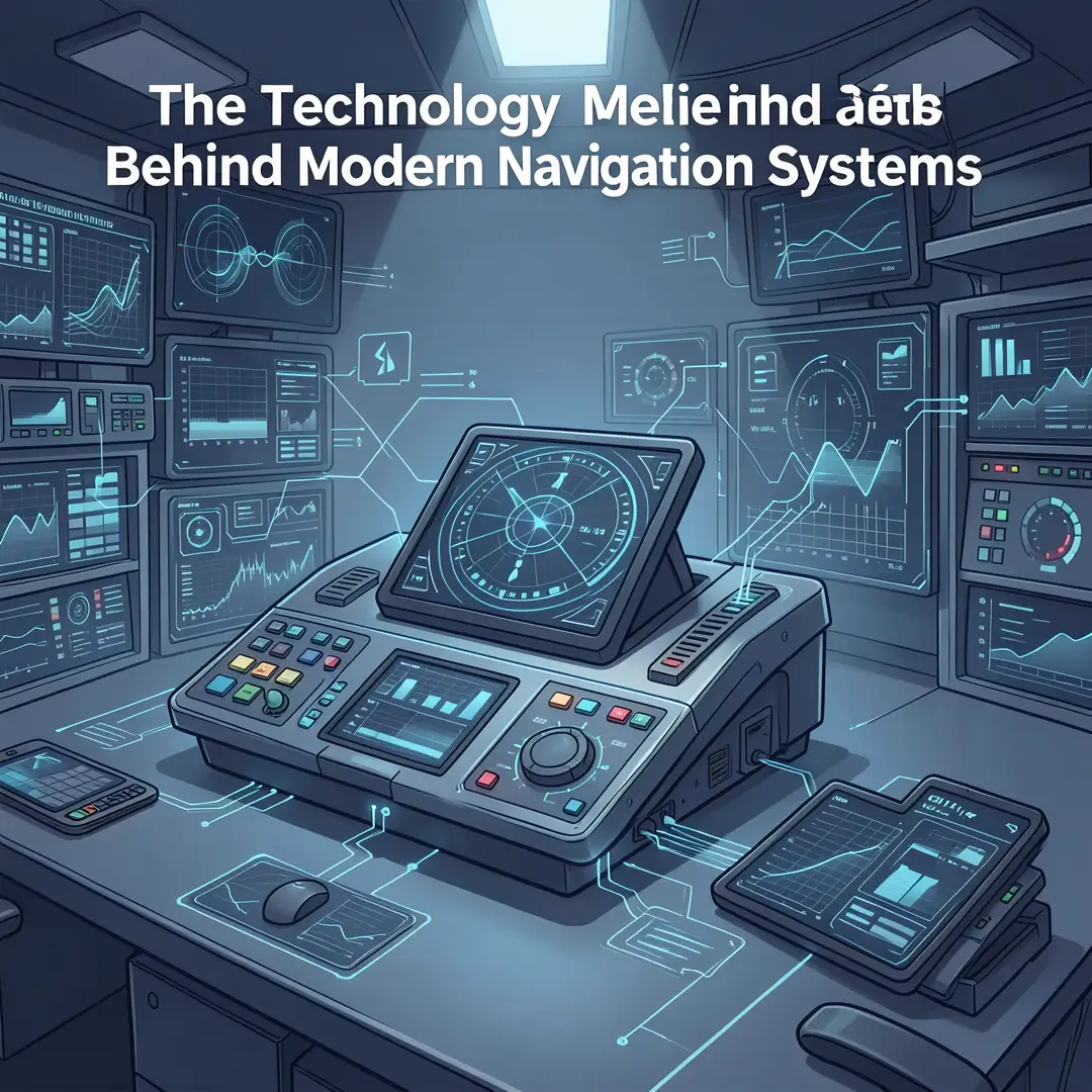
Step 5: Apply the core methods
Put the technology to work. Update your software, calibrate sensors, download offline maps, and practice using your chosen tools before you depend on them. Learn to read accuracy indicators and to recognize when the system is uncertain. If you manage a fleet, train drivers on best practices and set clear protocols for when navigation fails.
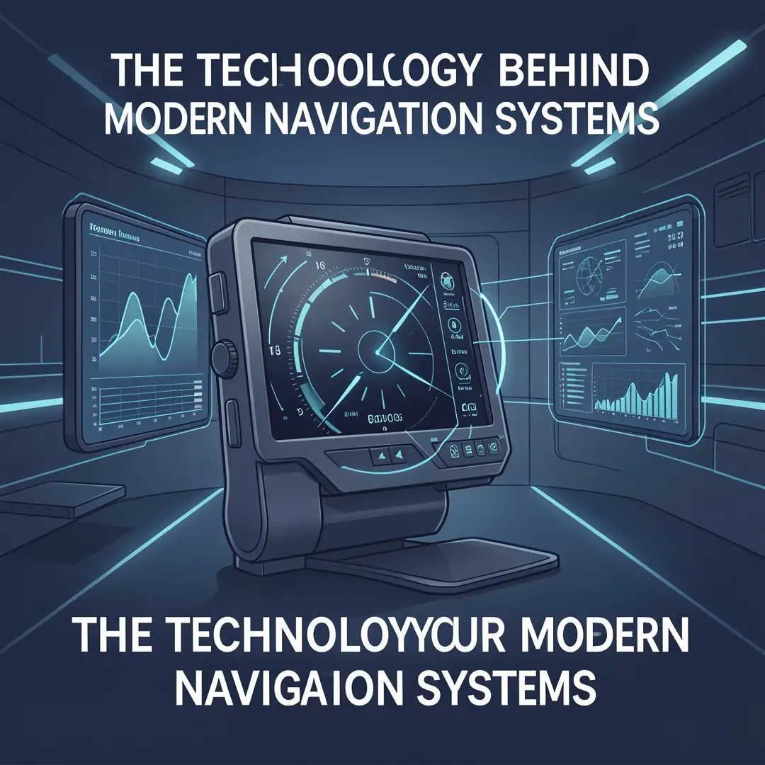
Step 6: Monitor your progress
Track how well your navigation setup performs over time. Note recurring errors, battery drain, and route quality. Adjust your tools and habits accordingly. Reliable information and consistent habits lead to better long-term outcomes, so make review a regular part of your routine rather than a one-time fix.
FAQ
What should I know about The Technology Behind Modern Navigation Systems?
At minimum, understand that modern navigation relies on satellite constellations, precise timing, and sensor fusion. Accuracy is typically a few meters outdoors but degrades in cities, tunnels, and indoors. Multi-constellation and dual-frequency receivers improve performance. Augmentation services can push accuracy to centimeters. Finally, navigation is not just positioning; map matching and routing algorithms turn coordinates into useful directions.
Who is this guide for?
This guide is for anyone who uses navigation technology and wants to understand it better. That includes daily commuters, travelers, outdoor enthusiasts, delivery drivers, fleet managers, and students. No technical background is required. If you want to make smarter decisions about the tools you use and get more reliable results, this guide is for you.
Conclusion
The technology behind modern navigation systems is a triumph of engineering that most of us take for granted. Satellites,.
You now have a solid foundation for The Technology Behind Modern Navigation Systems. Apply the best practices above and revisit this guide as your needs evolve.